

Sagitta
Activity Monitor
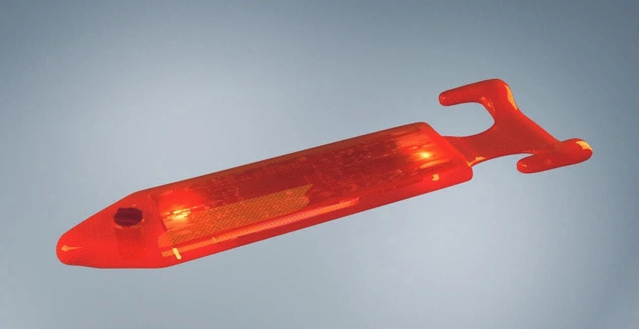
Sagitta is a sensor that attaches to the wheels of a mobility device (e.g. wheelchair). It incorporates proprietary firmware providing information about the activity of the user. The wheelchair instance of the sensor firmware transmits data about the velocity, cadence, push length, propulsion power and force, surface rolling resistance and the presence and degree of a vertical or side slopes.

A simple protocol can determine the maximum propulsion capacity of the wheelchair user. Wheelchair users are advised not to exceed 80% of that capacity, a threshold we have called their “redline”. Sagitta counts and locates each event exceeding the redline, recording locations of particular risk for overexertion.

How It Works
The sensor transmits data to the user’s cell phone where it is combined with time and location and then passed to a web dashboard – the C&P App – which can be accessed by a cell phone or home computer. A notification Bluetooth button is provided to record barriers or hazards and tagged to the GPS coordinates.
The user may share their data to our crowd-shared map, The Atlas, superimposing on the map any of the parameters of interest supplied by the wider community of users including barriers. With data from Sagitta, The Atlas also provides information about the level exertion necessary to complete a route. A private record of activity can be maintained and shared with friends through various social media platforms.

Data collected by Sagitta will provide information regarding the frequency and location of overuse events, and tags indicating barriers that were encountered during the day. Normative data collected over time will identify wheelchair users with patterns of overuse that place them at high risk for overuse injuries. Our technology suite will highlight these patterns and encourage a different pattern of wheelchair use, alternative route planning or suggest a wheelchair reassessment.

Work With Us.
Click&Push is looking for partners who are interested in using Sagitta as a data collection and analysis tool for research, or to evaluate clinical interventions. If you’re interested in partnering, contact us below.
Early validation of Sagitta
(previously called Redliner)
